A good route 66 motorcycle map does not just tell you how to get from Chicago to Santa Monica. It tells you where the ride starts to feel different. Where the old pavement still hums under your tires. Where a two-lane stretch suddenly opens into red desert, pine forest, or a main street that looks like it never gave up on 1955.
That is the real challenge with Route 66. The name is simple. The route is not. Over the years, parts were bypassed, renamed, paved over, and replaced by interstates. If you are riding it on a motorcycle, that matters. You are not looking for the fastest line across the country. You are looking for the road with character.
What a Route 66 motorcycle map should actually show
Plenty of maps can trace the broad path of Route 66 across eight states. That is useful, but only up to a point. Riders need more than a line. You need to know which sections still follow the historic road, which ones are scenic but rougher, and which stretches are better treated as connectors rather than highlights.
A practical route 66 motorcycle map should help you read the trip in layers. First comes the backbone of the journey - Illinois, Missouri, a corner of Kansas, then Oklahoma, Texas, New Mexico, Arizona, and California. Then come the ride qualities inside each state. Some sections feel urban and nostalgic, with diners, neon signs, and restored gas stations. Others are wide open, hot, and meditative, where the landscape becomes the main event.
For riders, that difference is not cosmetic. It shapes your pace, fuel planning, daily mileage, and even what time of year makes the most sense. A map that marks distance alone misses the point. A map that reveals rhythm is the one you want.
The ride is not one road
One of the biggest misconceptions about Route 66 is that it is a single continuous strip of historic pavement. It is not. Some pieces are beautifully preserved. Some are fragments. Some run parallel to newer highways. Some require you to leave the interstate at exactly the right moment or you miss the experience entirely.
That is why motorcycle riders often find Route 66 more rewarding than car travelers, but also less forgiving of poor planning. On a bike, every detour feels more immediate. So does every great stretch of original road. You notice the surface. The crosswinds. The gradual shift from Midwest farmland to high desert. The map has to help you manage those changes, not just admire them.
A smart Route 66 plan usually mixes iconic historic segments with practical transfers. Purists sometimes want to ride every surviving mile of the original alignment. That can be deeply satisfying, but it also takes longer and demands more attention to navigation. Other riders prefer to focus on the best-preserved stretches and use modern roads where the historic route becomes less compelling. Neither approach is wrong. It depends on whether your priority is completeness or flow.
Best map sections for riders, state by state
Illinois and Missouri are where many riders first settle into the idea of Route 66 as a living piece of Americana rather than a history lesson. The roads here ease you in. You get old downtowns, restored landmarks, and enough variety to keep the first days interesting without feeling overwhelming.
Kansas is brief, but memorable because of that very shortness. It feels like a collector's piece - small in mileage, big in symbolism.
Oklahoma is where a route 66 motorcycle map starts to earn its keep. There is a lot here, and much of it is deeply tied to the emotional core of the Mother Road. Long stretches, classic roadside stops, and an atmosphere that feels both grounded and mythic. This is one of the states where riders often start to understand why Route 66 became more than a highway.
Texas narrows geographically but expands in personality. The Panhandle delivers those big-sky miles that can feel almost cinematic from the saddle. Wind matters here. So does heat. A map worth trusting should not only show towns and fuel stops, but help you judge the longer spaces between them.
New Mexico changes the color palette of the trip. The road starts to feel older, stranger, and more textured. You get desert, adobe, and a sense that Route 66 was never just one American story. It was many stories crossing the same asphalt.
Arizona is often the emotional high point for motorcycle riders. This is where the historic road and the landscape seem perfectly matched. Towns like Seligman and Kingman carry Route 66 history proudly, but it is the riding itself that stays with people. Long open views, weathered roadside culture, and some of the best-preserved segments anywhere on the route.
California brings a different kind of ending. It can feel triumphant, but it is not always simple. Traffic increases. Urban navigation takes more attention. The final push toward Santa Monica means balancing the romance of finishing with the reality of busier roads. A good map helps you hold onto the feeling of the journey right to the end.
What riders should mark before the trip
Before you leave, your map should be more than a souvenir. It should become a working tool. That means marking fuel gaps, likely overnight stops, major weather zones, and the sections you most want to savor rather than rush through.
On Route 66, mileage can be deceptive. A day that looks easy on paper can stretch out if you stop often, ride old alignments, or spend time in small towns and historic sites. The opposite is also true. Some transfer days cover distance quickly but do not carry the same emotional weight. The trick is not to make every day equal. The trick is to let the strong sections breathe.
This matters even more on a motorcycle because fatigue has a way of sneaking up on riders who are enjoying themselves. Heat in the Southwest, long crosswinds in the plains, and urban traffic near major cities all demand a different kind of energy. Your map should support your body as much as your itinerary.
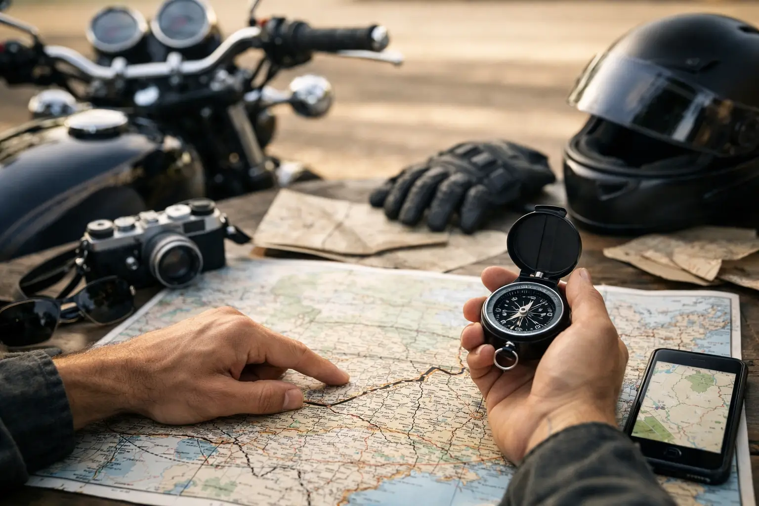
Digital map or printed map?
The honest answer is both.
Digital navigation is useful for turn-by-turn precision, quick rerouting, and locating practical stops along the way. It reduces stress in towns and helps when roadwork or closures force a change. But digital navigation can also flatten the experience. If you follow a voice blindly, you may miss the story of where you are.
A printed route 66 motorcycle map gives you the shape of the journey. It helps you think in regions, not just turns. You can see where the route bends south, where it climbs, where the gaps between towns begin to widen. That broader perspective changes how you ride. It encourages anticipation.
Many experienced Route 66 travelers use a printed map to understand the day and a digital device to execute it. That combination usually works best.
Guided ride or self-planned route?
This is where the map becomes more than navigation. It becomes a decision about how you want to live the trip.
If you are the kind of rider who wants the freedom of the open road without spending months piecing together historic alignments, overnight logistics, and stop planning, a guided motorcycle tour can make the whole experience richer. You still get the thrill, the landscapes, the classic towns, and the sense of accomplishment, but someone else has already done the hard work of building the route properly.
If you love independent travel, a self-planned or self-guided approach can be incredibly rewarding. You can linger where you want, move faster through sections that matter less to you, and shape the route around your own style. The trade-off is that Route 66 is more complex than many bucket-list travelers expect. Freedom is wonderful, but freedom with poor routing can turn into frustration.
That is one reason specialists like Route 66 Tours INC exist. After years of working this road, you learn that the map is not the trip, but it does determine the quality of the trip.
Why the right map changes the feeling of Route 66
On paper, Route 66 is a cross-country ride. In reality, it is a rolling sequence of moods. Early-city excitement. Midwestern nostalgia. Plains openness. Desert stillness. Mountain air. Sunset light on old motels and weathered signs. The right map helps you meet each part on its own terms.
It also protects the trip from a common mistake - treating Route 66 like a checklist. If your map only tells you where the road goes, you may rush toward the finish. If it shows you where the experience deepens, you start riding with better instincts. You stop at the right places. You allow for the unexpected. You let the road feel like a road, not a task.
And that is really what most riders are chasing. Not just the bragging rights of crossing America, but the feeling that somewhere between Chicago and the Pacific, they were fully inside the journey. A good map cannot create that by itself. But it can put you on the stretches where that feeling has the best chance to find you.